
Mount Bourgeau. Altitude 2,931m, named by James Hector in 1860 after Eugène Bourgeau, a botanist with the Palliser Expedition. First climbed in 1890.
125 years and countless hikers and runners later, Canmore Runner puffed his way to the summit in the great company of Mike Fitzpatrick, coordinator of Canmore Trail Culture and Mount Bourgeau alumni.
And what a spectacular run it was: an out-and-back covering just over 24km with 1500 metres of climbing. It begins with smooth, shaded forest trail that give way to rooty, muddy single track, and onwards and upwards to steep, exposed and largely rocky technical trails set against the most magnificent backdrop. It all made for a great day in the mountains.
On Strava, it all looks like this:


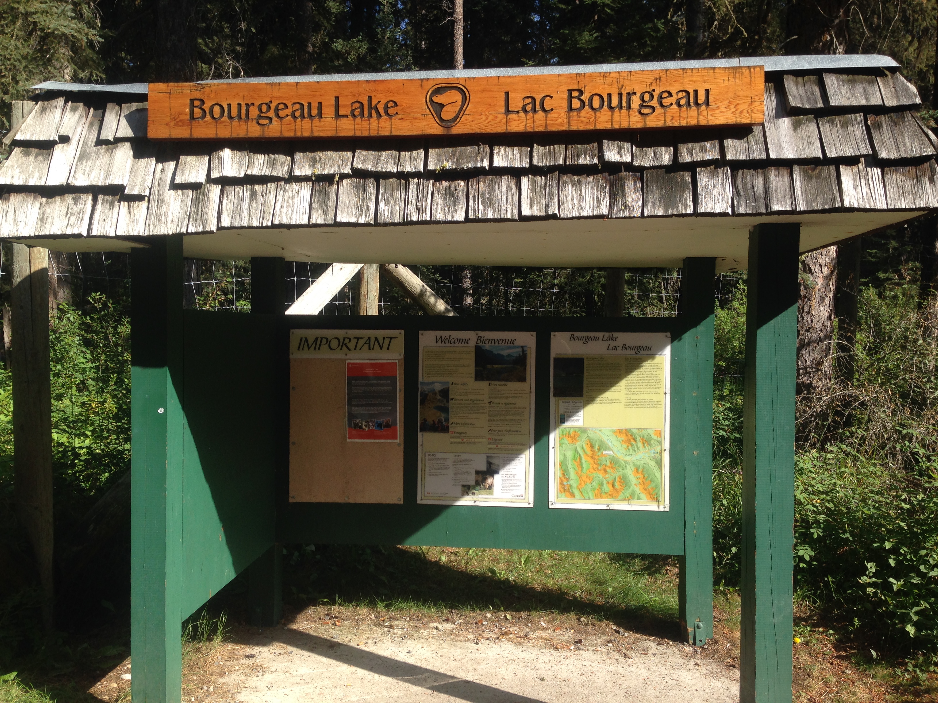
The trail to Mount Bourgeau begins at the Bourgeau Lake trail head which is located just off the east-bound side of the Trans-Canada Highway, about 10 minutes west of Banff. There’s a sign telling you where to pull off. You’ll know you’re in the right place when you see this:
From here you begin a relatively gentle climb through dense forest for the next 5km or so:

After a couple of creek crossings you’ll emerge from the forest to be confronted by the enormity of Mount Bourgeau to your left and a clear sense that there’s quite some climbing still to go:


Here the trail levels out for a short while and after a few minutes you’ll reach a fork in the trail. Keep right, following the sign to Harvie Pass.

From here, it’s about 2.2km to the Pass, over gently rising and run-able trail to begin with:
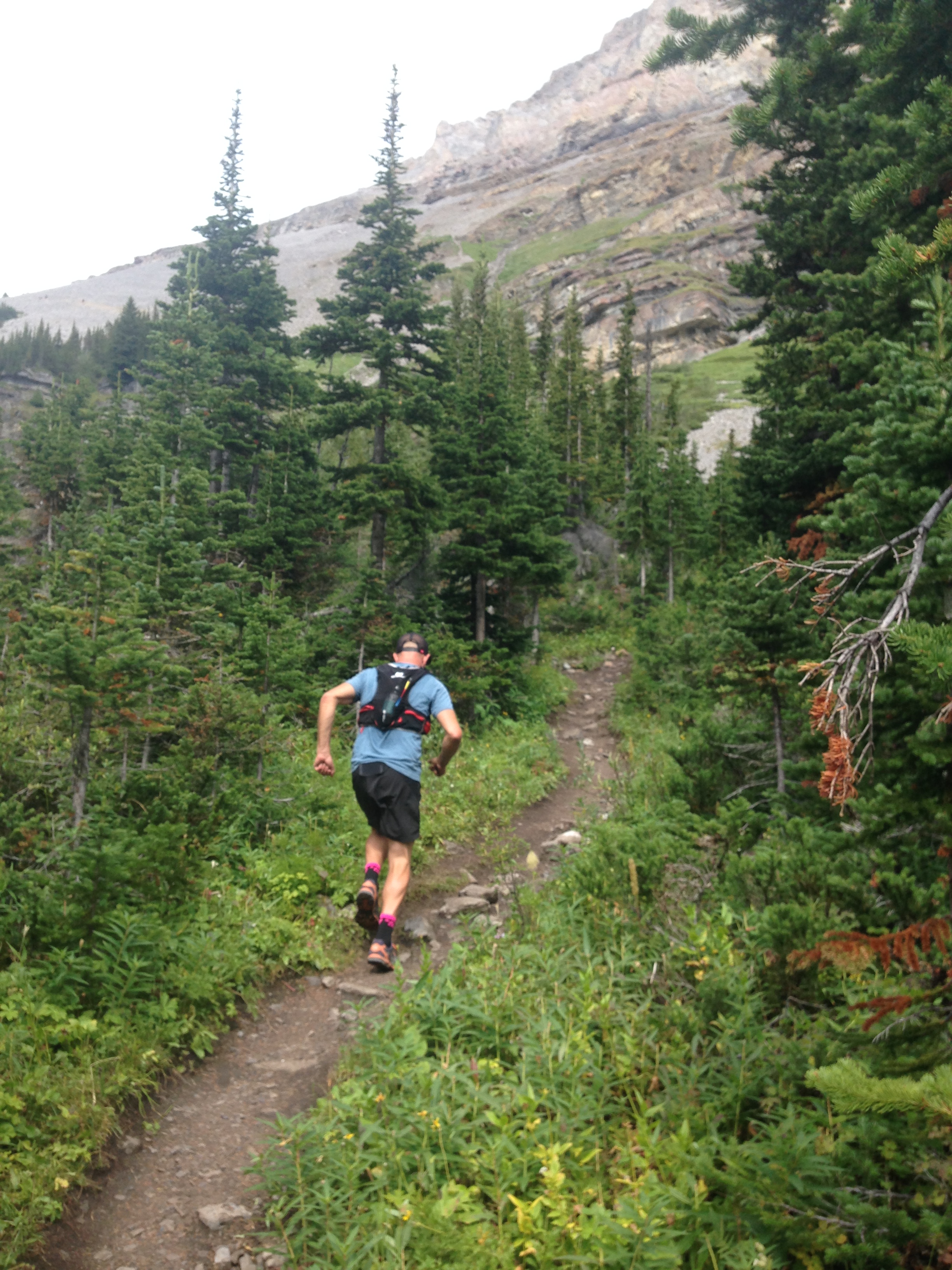
…which gives way to something a little steeper and rockier where some hiking may be called for:

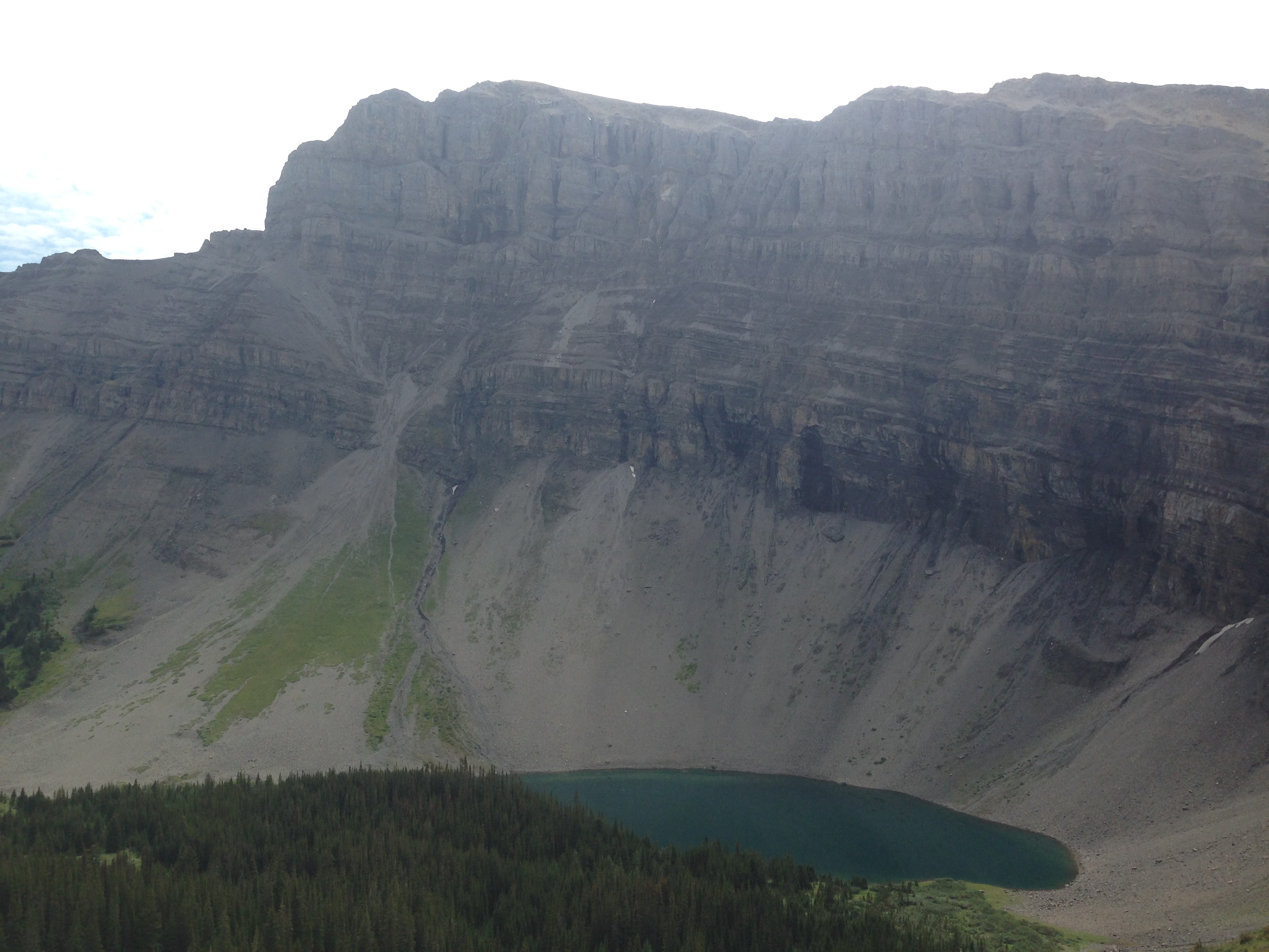
…all the while compensated for your efforts with superb views of Lake and Mount Bourgeau:
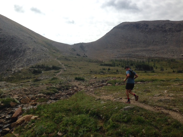
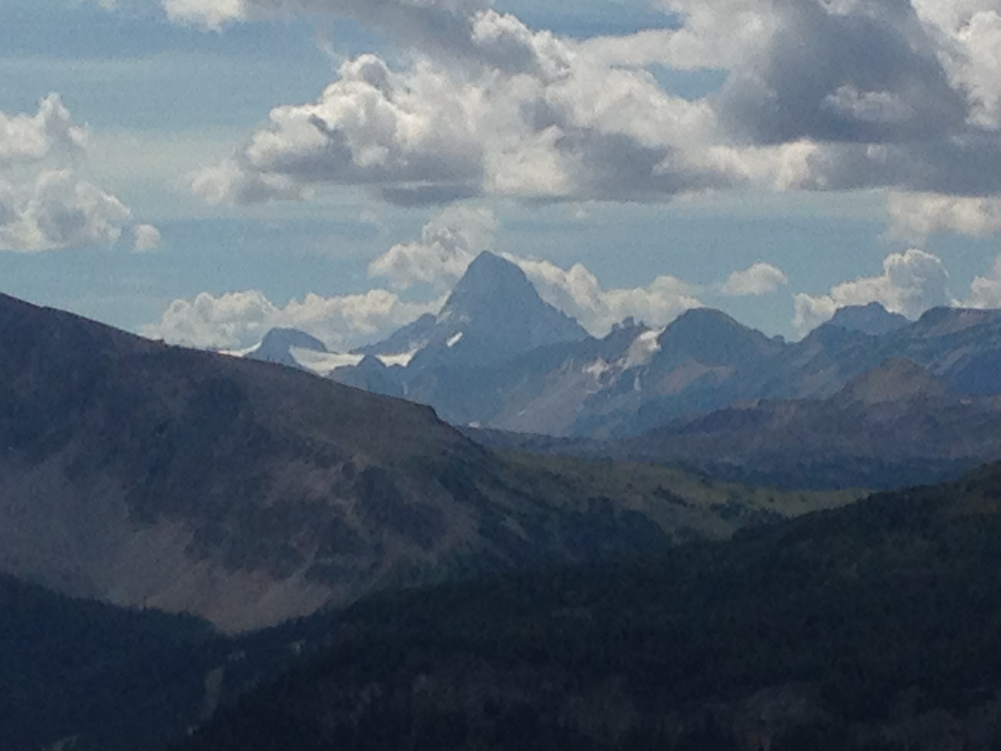
The trail levels out again, passing some small lakes with fantastic views all the way to Mount Assiniboine (at 3,618 m, the highest peak in the Southern Continental Ranges of the Canadian Rockies):

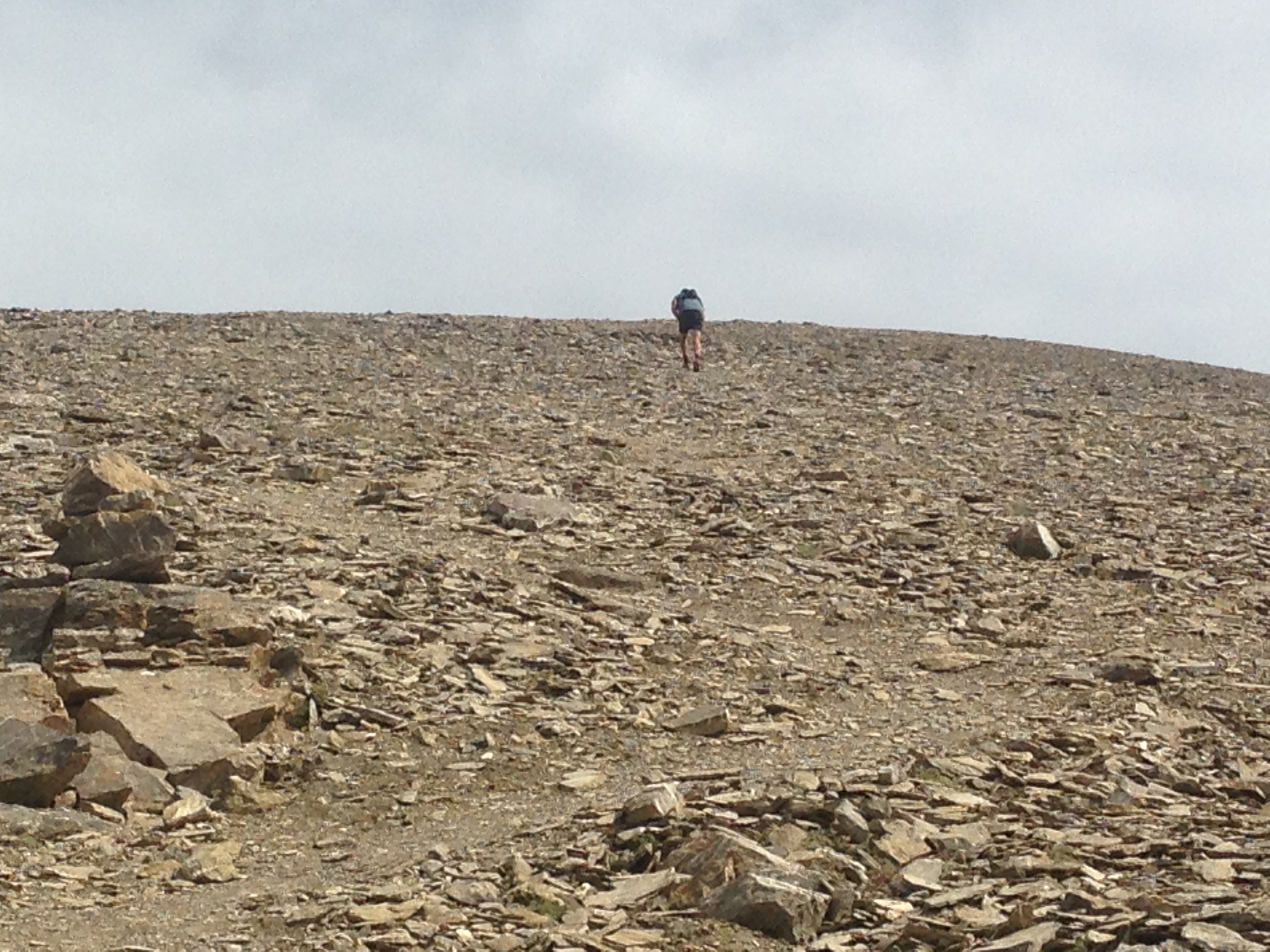
From here, the climbing really begins as you follow a fairly faint trail for the next couple of kilometres, across the rocks and up to the summit:

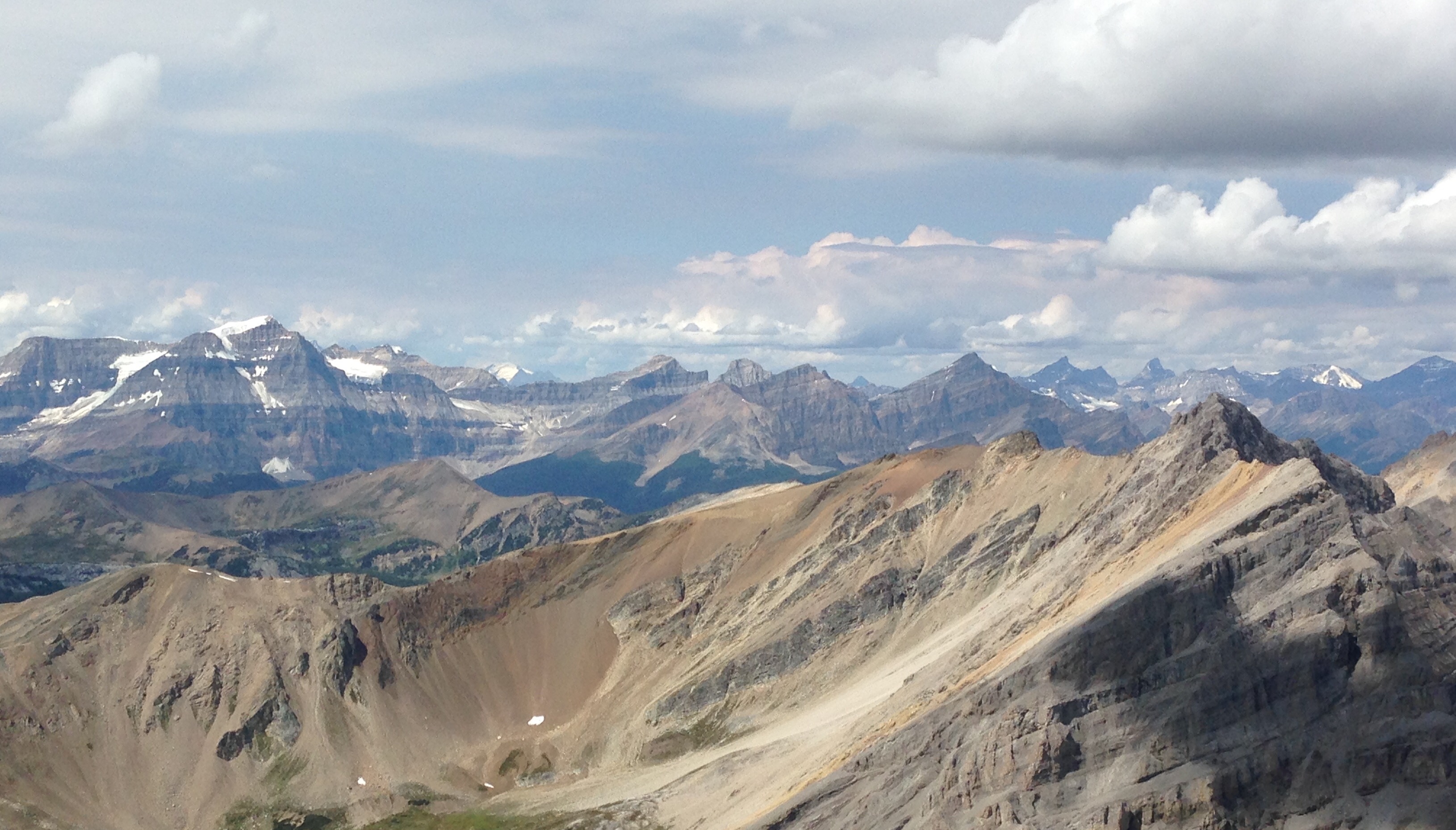
Fortunately, the views are sufficiently jaw-dropping to take your mind off the pain:


But the climbing goes on:
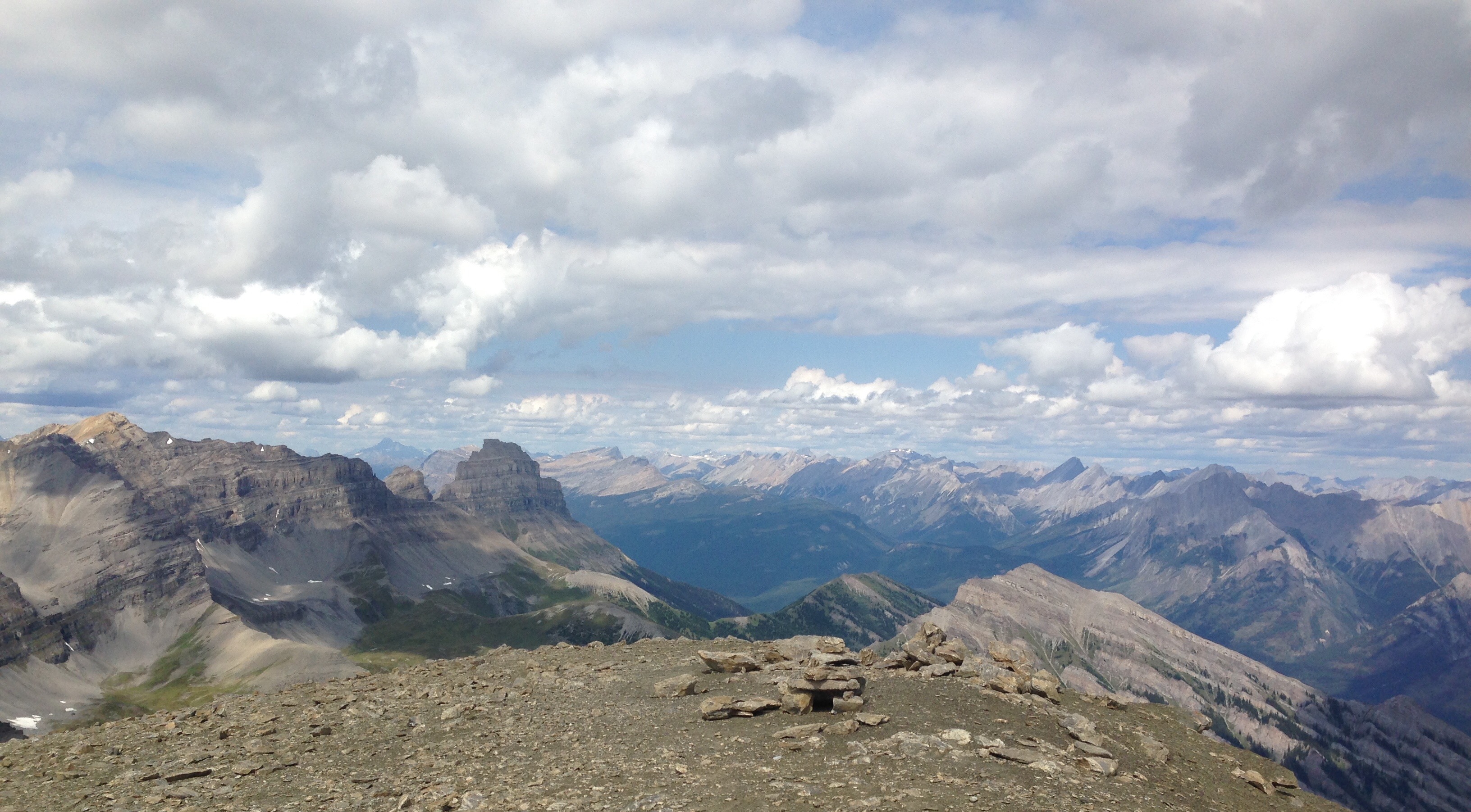
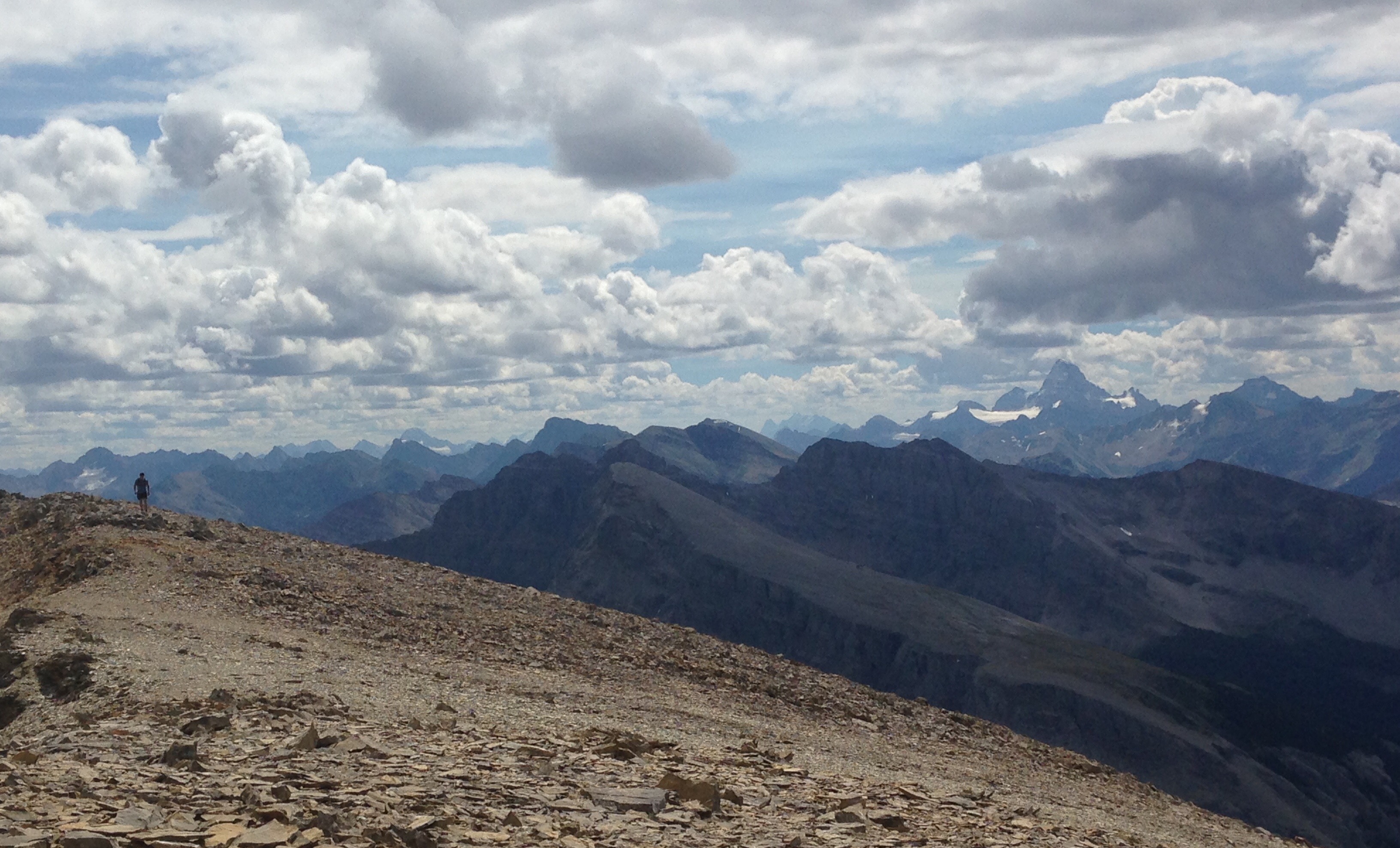
And then the summit at 2,931 metres with the most incredible panorama to reward you for your efforts:

Give your feet some time to recover and retrace your steps down a screaming and well-deserved if, at times technical, descent back to the trail head. What a run. Truly epic.
Until next time, happy trails.

2 thoughts on “Mount Bourgeau – Truly Epic”